


The most beautiful hikes
in Samnaun
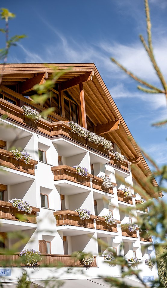
There are so many beautiful signposted hiking trails in Samnaun. That's why I'd like to recommend one easy and two medium hikes as well as the king's stage for ambitious mountain hikers. All tours can be started directly from the Hotel Nevada in Samnaun - an ideal starting point for enthusiastic hikers.
(easy, 2.7 kilometres, 71 metres ascent, 71 metres descent)
The fairytale trail in Samnaun is perfect for an outing with the whole family or for a morning or evening walk. The adventure of Murmin and Murmina is told at 10 stations. You have to successfully solve tasks and riddles to save the marmot family.
Wonderful views of the mountains of the Samnaun group accompany the hikers, who are on a well-maintained forest path (suitable for prams).
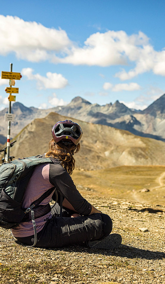
Fuorcla Curschiglias over the Schäfersteig
(medium, 8.9 kilometres, 504 metres ascent, 639 metres descent), also possible in the opposite direction
High above the Samnaun valley, the partly narrow and briefly slightly exposed hiking trail runs along the imposing mountain sides from Samnaun Dorf to Samnaun-Laret.
After an approx. hour-long ascent to below Piz Motnair, the route is mostly flat along the south side of the mountain range to Motta Foppazins. This is followed by a short ascent to Piz Mezdi. Then the trail descends to Fuorcla Curschiglias and continues into the valley to Laret.
Unique views of the Samnaun valley and the Val Sampuoir as well as the mountain world opposite await you on this varied hike.
(medium, 10.6 kilometres, 818 metres ascent, 818 metres descent)
The hike starts directly behind the Hotel Nevada. At the beginning, the forest trail leads moderately uphill into the Val Maisas. The gradient gradually increases before the shepherd's hut. At the hut the path narrows and runs across alpine pastures to Rossboden. The subsequent ascent to the Stammerseen lakes is steep, the view of Muttler and Stammerspitz magnificent. On the banks of the Stammerseen lakes, cotton grass blossoms in summer. The path continues to wind in serpentines towards the Joch. After the Stammerjoch, the highest point of the hike at 2676 m.a.s.l., the trail leads into the Val Chamins, which got its name from the rock formations (chimneys). After the first steep descent in stony terrain, the path becomes more leisurely. Samnaun's local mountain Piz Ot and the Piz Crappa Grischa are now the faithful companions until the end of the hike in Samnaun.
NOTE: From the turn-off below Rossboden to the Stammerjoch and down into Val Chamins, surefootedness is required.
(difficult, 14.8 kilometres, 1472 metres ascent, 1472 metres descent)
Behind the Hotel Nevada in Samnaun, the hiking trail leads into the Val Maisas. At the junction at around 2090 metres above sea level, you choose the path in the direction of Schwarzwand. With every step you get a better view of the valley head to the two dominant mountains: the Muttler as a pointed cone like a volcano, the Piz Tschütta as a broad rock bastion.
At the "Roten Seeli", the paths that parted below meet again. Over the Rossbodenjoch you approach the highest Samnaun peak, the Muttler. Here the view also opens up into the Val Sampuoir and onto the Mundin group. Over the north ridge the path becomes steeper, the trail more stony and also more slippery on the slippery scree. Once on the summit, you are rewarded by an extensive panoramic view: over the entire Silvretta and Bernina groups, in the south as far as the Ortler, in the north some can even make out the Zugspitze.
The descent continues along the same path, but turns right at the "Rote Seeli". At the junction at 2090 metres above sea level, the ascent and descent tracks come together again. Then it goes past the shepherd's hut back towards the village.

