Challenging mountain tours
and alpine hiking trails
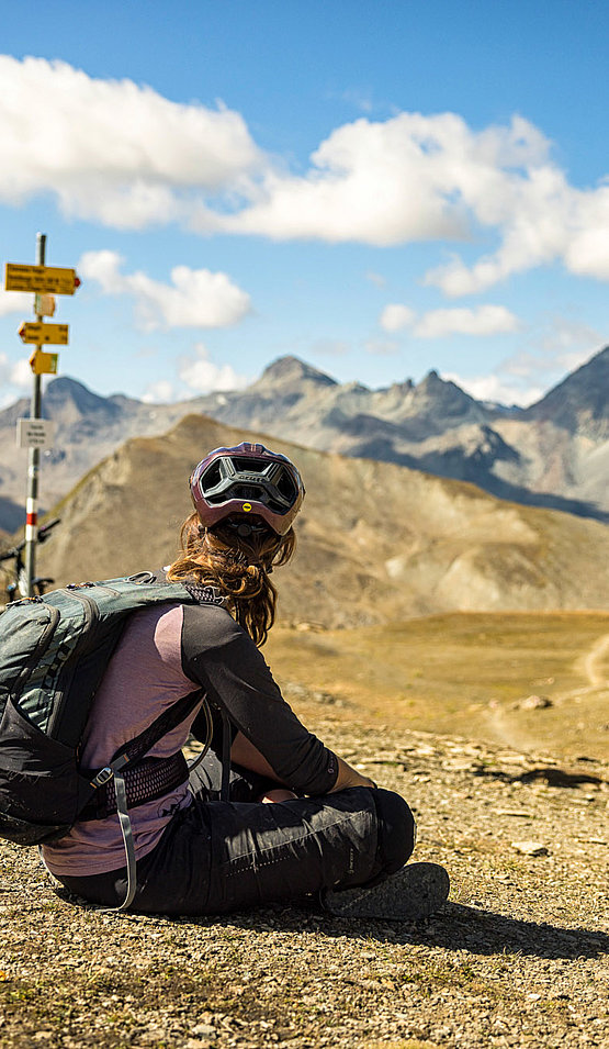
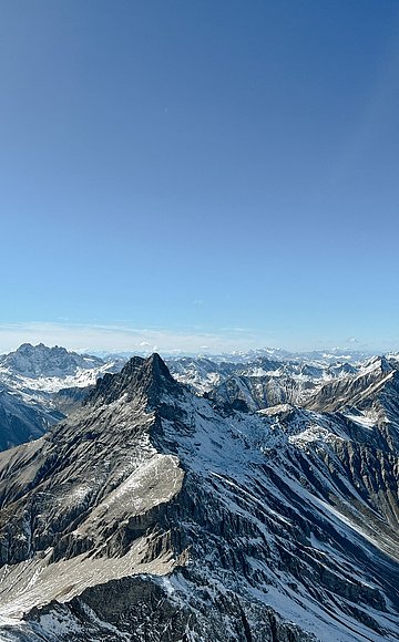
At least two alpine delicacies await experienced and skilled mountain hikers in Samnaun. The Muttler as the highest Samnaun peak (3296 m.a.s.l.) is undoubtedly the king's stage and a must for ambitious hikers. But the alpine hike through rocks, stones and scree to the Bürkelkopf (3031 m.a.s.l.) is also worth a look.
Before embarking on these mountain hikes, it is essential to study the weather forecast carefully. We also recommend that you organise appropriate maps and inform the staff at the reception about the plans (and let them know when you are back). Good shoes, sufficient food, rain and sun protection and first aid material are essential.
(difficult, 14.8 kilometres, 1472 metres ascent, 1472 metres descent)
Behind the Hotel Nevada in Samnaun, the hiking trail leads into the Val Maisas. After the shepherd's hut there is a fork, here you choose the path straight ahead in the direction of Schwarzwand. With every step you get a better view into the valley head to the two dominant mountains and the day's destination: the Muttler as a pointed cone like a volcano, the Piz Tschütta (also; Stammerspitz) as a broad rock bastion.
Soon the route climbs steeply towards the Rossbodenjoch, where you steadily approach Samnaun's highest peak, the Muttler. Here the day's goal seems within reach and yet you have to climb another 500 metres in altitude. The path becomes steeper, the track stonier and also more slippery on the slippery scree. Once on the summit, you are rewarded by an extensive panoramic view: over the entire Silvretta and Bernina groups, as far south as the Ortler, and to the north some can even make out the Zugspitze.
The descent is initially on the same trail, but turns right at the "Roten Seeli". At the junction at 2090 metres above sea level, the ascent and descent tracks come together again. Then it goes past the shepherd's hut back towards the village.
(difficult, 8.5 kilometres, 775 metres ascent, 775 metres descent)
The mountain hike on the Bürkelkopf requires surefootedness, a head for heights and experience on alpine paths.
The round tour starts at the Alptrider Sattel in the direction of Viderjoch. Then you pass the Flimspitz on the left. The Flimjoch is reached through rocky terrain. The alpine hiking trail (white - blue - white) to the Bürkelkopf begins at the Flimjoch. Once you reach the summit, you are rewarded with a magnificent panorama of Paznaun, the Silvretta and Samnaun groups. After a rest at the summit, the trail leads to the Vesulscharte and then descends steeply over a small residual glacier, before you have to climb another 50 metres to the Bürkelscharte. The descent to the lakes in loose scree is steep. Then it is a leisurely return to the mountain station of the double-decker cable car.


